Office for National Statistics Geography Linked Data: Update
We have recently updated the ONS Geography Linked Data site, statistics.data.gov.uk with the aim of making it easier to find what you are looking for.
Administrative and census geography is complicated, and we have been working on an updated version of the platform to make it easier to explore the geospatial data.
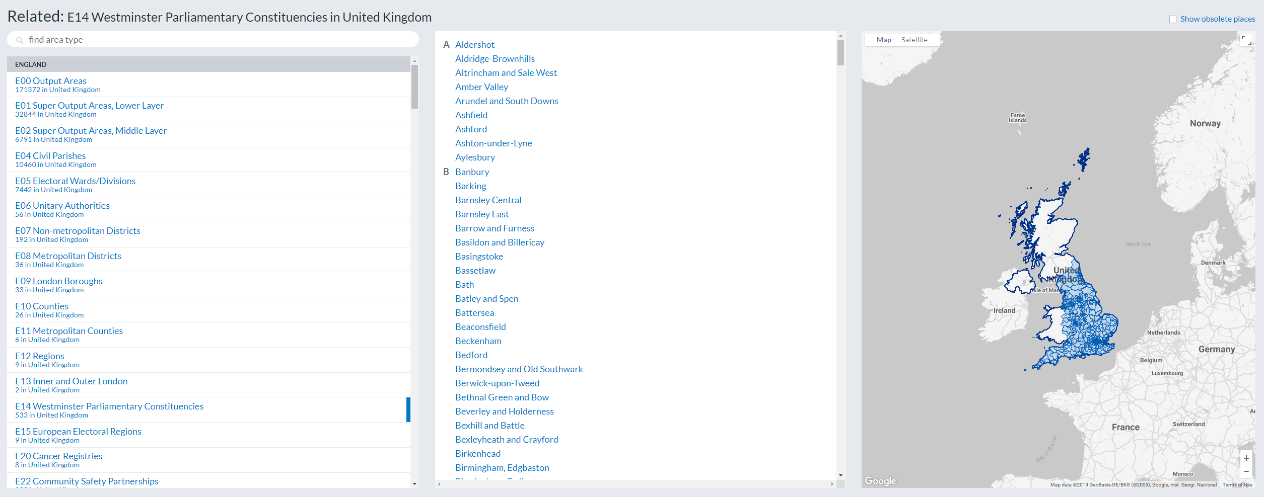
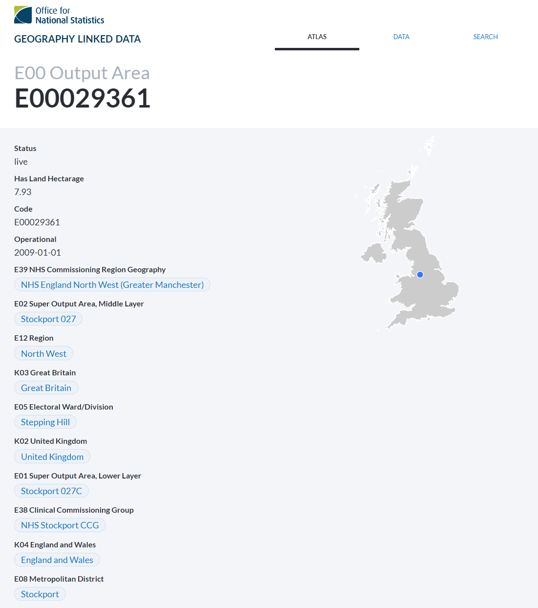
We maintain a set of authoritative identifiers for geographical areas, widely used in statistical data. Using these identifiers makes it easier to compare and combine different aspects of information about a place, and the ONS Geography Linked Data site helps you to find the right identifier for a place or, if you already know the identifier, to look up its description.
The site provides a list of area types, the areas within each type and, for each individual area, an interactive map showing where it is and other smaller areas within it.
As well as this new approach to presenting ONS Geography, the ONS is now publishing the National Statistics Postcode Lookup as linked data. Making these postcode data available as linked data means that each postcode has a definitive web-based identifier, and lookups to the various areas that lie within it. These data are available via the API to support use of the lookups in dashboards, apps or visualisations.